
- EDITIONS:
 Spanish News Today
 Murcia Today
 Alicante Today
Punta de Gavilanes in Puerto de Mazarron
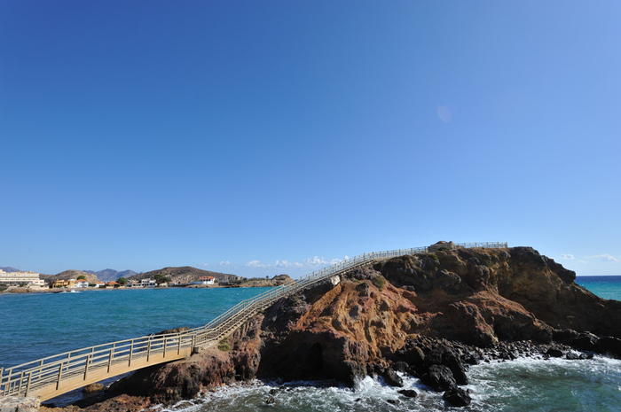
Punta de Gavilanes is an important archaeological site and has great views over the Mazarrón coastline
Punta de Gavilanes (Puerto de Mazarrón) is located between the beaches of Bahía and La Pava, and was occupied during four distinct periods, starting nearly 4,000 years ago.
The area consists of two promontories: the larger and higher of the two is known as the Pico del Águila, while the lesser is the Punta de Los Gavilanes. The archaeological site preserved here is on the smaller of the two, although it is possible that another site was destroyed some decades ago when a house was built on the promontory.
Despite its reduced size, the site has yielded important findings since the first digs were organized in the 1970s by the Regional Museum of Archaeology.
The first period of occupation dates from the Bronze Age, around 1960 BC, during which this area of rock was used by a population known as the Argarics. This culture was widespread between 2200 and 1550 BC in south-eastern Spain and the site is believed to be linked to another residential complex near the Rambla de las Moreras.
The Argarics controlled their territories via a hierarchical system, their settlements inter-dependent and uniform. There are several key Argaric sites in the Region of Murcia Region, the most extensive being La Bastida in Totana.
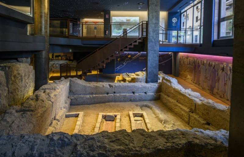
In the excavations of 1972 a burial was discovered which had been built using stones measuring between 15 and 25cm to form a small wall. Inside, the body was bent double in foetal position, with the head at the western end, facing south. The only grave goods were two bronze spiral earrings and a few fragments of common ceramics.

In 1973 a second burial was found, pointing from south-east to north-west. The widest part was at the foot of the burial, where the remains of either a sheep or a lamb were found. The grave was strengthened by a course of stones although only one wall remained. The head of the body was at the north-west end, facing north-east. The left hand was missing. The head of the animal, meanwhile, was pointing south-west, with the feet towards the south-east. There were no grave goods, the only other items found being fragments of ceramics.
Inside the site, the corner of a strong wall, possibly a fortification, can be observed when the water allows it. This wall is made up of large stones, and each section is about 1 metre wide and 6-7 metres long.
The second period of activity was focused around 650 BC, at the time when the Phoenicians were actively trading in Mazarrón. Punta de Gavilanes was the site of a factory where minerals were smelted and is a rare confirmation of human activity in Mazarrón during this period. The Phoenicians are known to have been here at the time as two Phoenician boats sank in the bay of Bahía, one of them carrying ingots of raw minerals extracted in the area and the other amphorae containing fish sauces. Smelting and mining would have been undertaken by the indigenous populations, the Iberians supplying raw products to trade with the Phoenicians, who plied their trade in raw materials and luxury goods along the Mediterranean coastline.
The Phoenicians were active in helping to supply the natives with technology to create trade goods from raw materials, and Mazarrón possesses rich seams of minerals which were later exploited extensively by the Romans.
Underneath the smelting factory, in the centre and southern part of the site, there is a large domestic area, the remains of which suggest a long room enclosed by straight, perpendicular walls made of a stone base cemented with mud. Some of the stones from higher up have fallen onto the floor.
It is believed that there was a structure held up by three rows of posts, probably supporting a roof made of plants and made impermeable by sheets of schist.
The site was occupied again between the 4th and 3rd centuries BC, during the period of Carthaginian rule, but was abandoned at the end of the 3rd century, doubtless due to the invasion of Carthago Nova (Cartagena) by the Romans. Towards the second half of the 2nd century BC it was yet again occupied, although the production of metal was abandoned and the site used for commercial trading until the end of the 1st century BC.
Visiting the Punta de Gavilanes
The rocky outcrop lies at the intersection between the beaches of the Playa Bahía - La Reya and La Pava.
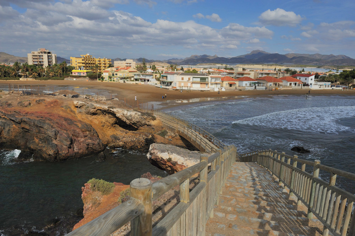
This is a beautiful location, the 2 sandy beaches sweeping away from the rocks in curving crescents, and is popular during the summer not only with sunbathers and swimmers but also among surfers and body boarders.
In archaeological terms there is very little to see these days, but knowing what happened here makes it worth a visit. In addition, from the beach there are steps leading up onto the rock, and this is a superb place to enjoy the views out across the beaches and bays of Mazarrón. The viewing point at the top of the rock makes it s easy to see why this point was selected for a strategic and safe location by the visitors to this area more in millennia gone by.
For more local visiting information as well as news and events go to the home page of Mazarrón Today.


