
- EDITIONS:
 Spanish News Today
 Murcia Today
 Alicante Today
Sierra de las Herrerías, Leiva, Mazarrón
The Sierra de las Herrerías in Mazarrón is perfect for walking, cycling and picnics
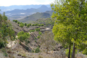
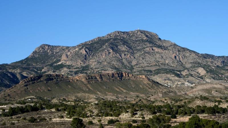
The Sierra de las Herrerías is a little-known oasis within the municipality of Mazarrón which offers interesting routes for both cyclists and walkers as well as being an attractive picnic spot with views out across the Gulf of Mazarrón and the surrounding countryside.
Heading out of Mazarrón on the RM-D4, after passing through Leiva drivers see a signpost on the left, leading up through the countryside towards the high mountains which hold the Roman mines of Coto Fortuna. These were the scene of intense activity during several episodes of Mazarron´s history.
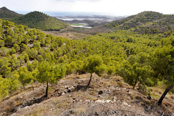
The road winds up past the abandoned mineworkings of the Mine of San Juan into the Sierra and the landscape becomes one of youhng pine forests, representative of what would once have covered most of the Region of Murcia over 2000 years ago before intense activity by the Romans began the slow process of deforestation and settlement.
At the top of the Sierra is a picnic area and rest spot, with tables and stone chairs, as well as information boards giving details about some of the wildlife species which abound in the Sierra.
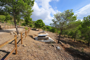
On all sides are roads and walks heading off into the Sierra, with views of the Rambla de las Moreras and the Sierra del Algarrobo to the west, the The Sierra del Águila to the North, Amenara, la Cresta del Gallo and Lomo de Bas to the east and Las Moreras and the Mediterranean to the South.
On the slopes above is a vigilance station and monitoring point, and all around, silence and the sweet smell of pine. This astonishing oasis is little visited and little known, but well worth visiting if you enjoy walking, cycling or just picnicking away from the beaches of Mazarrón.
Click for map, Leiva, Mazarrón (pull back and the Sierra clearly shows as a dark green patch)
staff.inc.and
Sights to see in Mazarrón


