
- EDITIONS:
 Spanish News Today
 Murcia Today
 Alicante Today
Walking routes in the countryside of Abanilla: the Rio Chicamo, the badlands and the mountains
The rural land around Abanilla features vestiges of the Moorish and Roman past
The municipality of Abanilla in the north-east of the Region of Murcia occupies an area of 236 square kilometres, and within its boundaries is a surprising variety of different landscapes, from verdant land and fertile soil which are farmed for fruit and vegetables to arid “badland” features and mountains.
Within Abanilla there are four main areas recommended for walkers keen to explore the countryside and at the same discover the history of one of the areas of Murcia where the Moorish heritage is strongest and most easily visible. These areas are as follows:
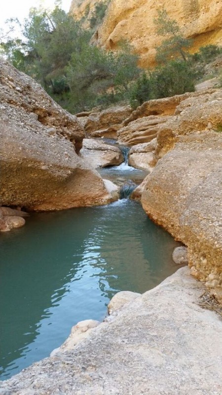 1. The River Chícamo
The source of the River Chícamo is near the village of Macisvenda in the north-east of Abanilla, and a walk along its course as it flows towards the town of Abanilla is a journey through the history of water supply and irrigation in the this part of Murcia, as well as a chance to view some fascinating rock formations and landscapes.
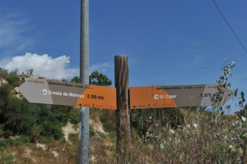
At the start of the PR-MU 74 route is the “Molino del Chícamo” interpretation centre, and not far from here the river passes through the Canyon of El Cajer and the village of La Umbría on its way downstream towards an aqueduct which is thought to have existed in one form or another since Roman times.
As is so often the case in Murcia, the aqueduct and other irrigation channels were modified and made more sophisticated by the Moors, a fine example being the weir of El Partidor: at this point the water in the river is divided into two streams, which then serve to irrigate different areas of farmland. There are also numerous old mills along the river in this area, most of them now in disuse.
The route then crosses the plain of Sahués – it’s hard to imagine a more Arabic-sounding name! – before reaching the small church in Mahoya, an area which is sometimes known as “La Huerta” in reference to its fertile soil and the abundance of fruit and vegetable plantations.
 2. The badlands
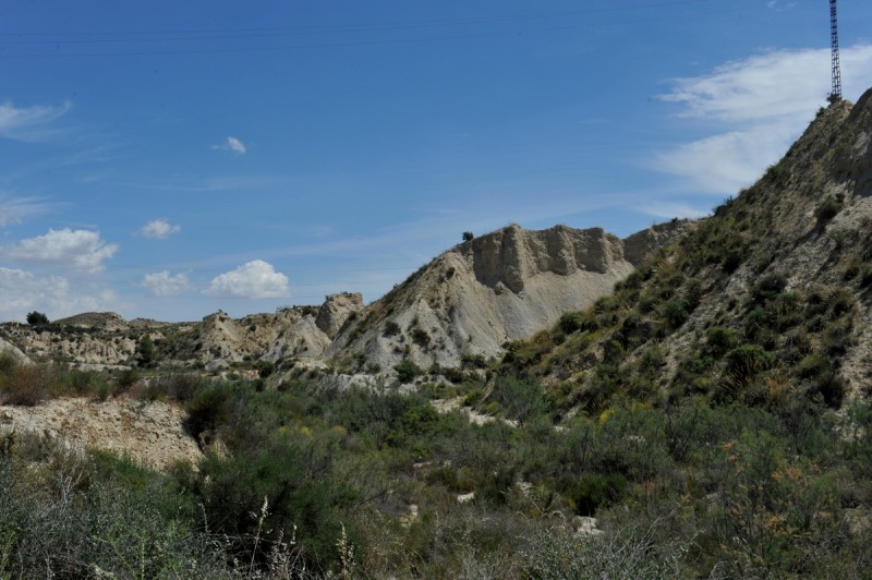
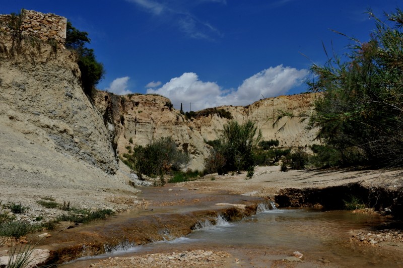
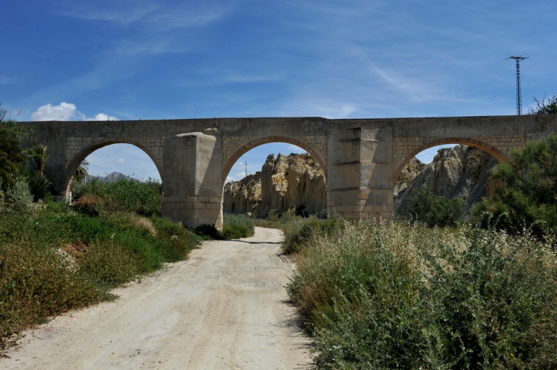
This is an area to the west of the town of Abanilla where a lunar landscape has been formed by the erosive force of water over the millennia, leaving the land devoid of almost all vegetation and filled with hostile ravines and gullies. The best starting point for a walk in the badlands of Abanilla is said by many to be the bridge over the Rambla de Parra on the RM-423 road between Los Baños de Fortuna and El Salado.
 3. The Sierra de El Cantón
The Sierra de El Cantón is the name given to the mountains which stand in the north-east of Abanilla, between the villages of Cañada de la Leña and El Cantón, and the recommended walking route begins a kilometre outside El Cantón at a farmhouse called Los Marcos. From here walkers can follow a path which leads to the valley of La Boquera, and then climb to the top of the mountains along a wooded path.
 4. Rambla de la Parra and Rambla de Balonga
These are two natural floodwater run-off channels which lead into the River Chícamo, and walkers are advised to begin their excursion at the Casa de Cantaelgallo on the road between Los Baños and Fortuna and Barinas. In normal years there is a small trickle of water in the valleys, lending a special charm to the scenery.
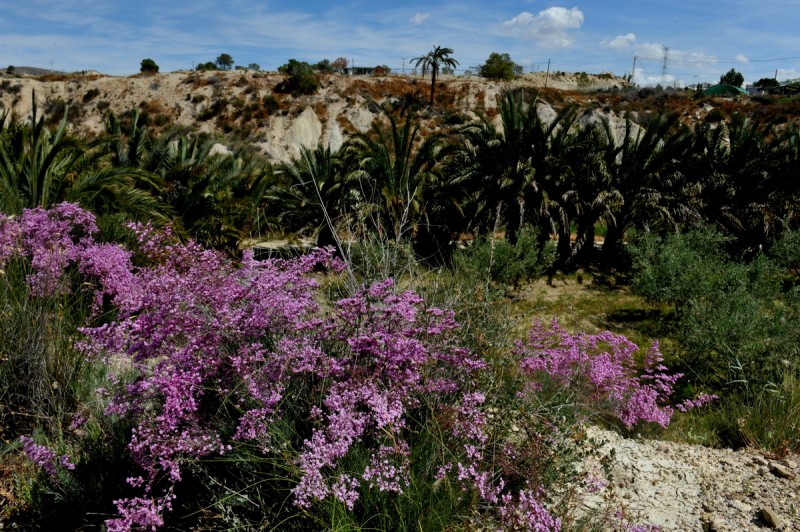
Throughout these varied landscapes, apart from in the badlands, one of the most noticeable features is the presence of numerous palm trees. This is not an organized palm grove like those not far away in Elche and Orihuela, but once it had been introduced into the area the date palm (Phoenix datilífera) flourished in the countryside of Abanilla.
 This is due principally to the warm climate, but also to the fact that the natural water supply in the area contains a high saline content, caused by the minerals in the rocks and soil. It is for this reason that one of the outlying areas of Abanilla is called “El Salado”, and the same characteristic also explains the presence of the protected Spanish toothcarp in the River Chícamo: this species normally lives only in salt water.
The tourist information office in Abanilla is able to offer more detailed guidance, maps and leaflets and is also the best place to seek recommended accommodation and gastronomic guidance.

